Network Level and Interaction Level
The map has two levels: Network level and Interaction level. These are described in the following table:
Network level
When zoomed out, spatial data is displayed but you cannot interact with it. Spatial data is displayed linearly along a Section regardless of whether it is stored as points, lines, or polygons.
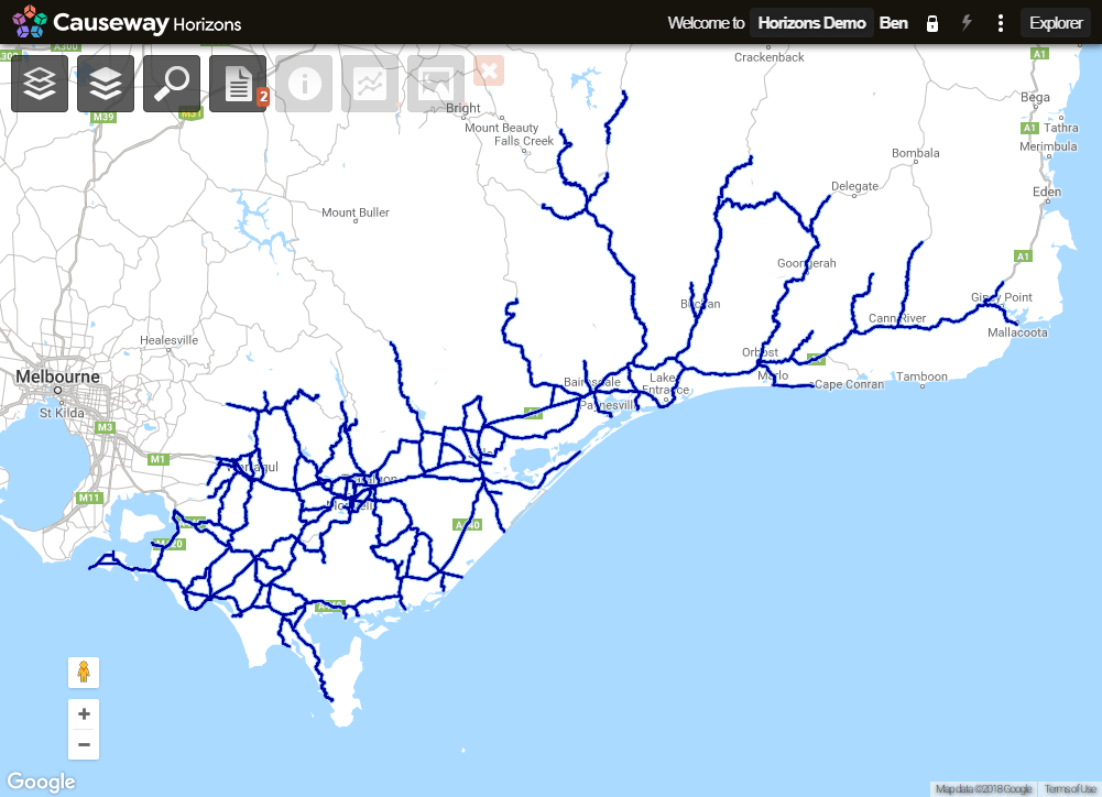
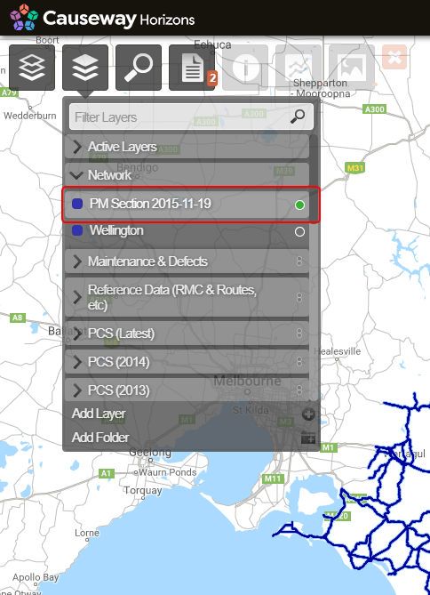
When you select a network from the Network context sensitive menu the system displays the Network Level view.
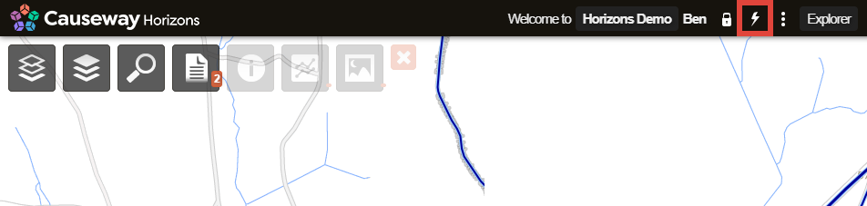
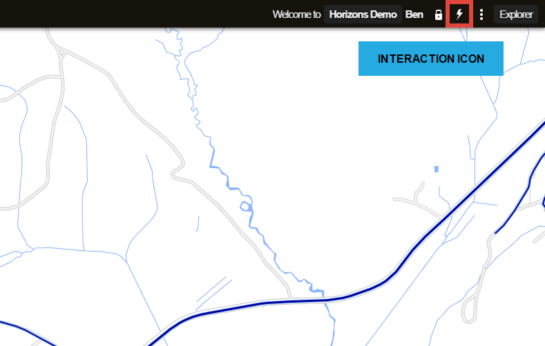
To return to the Network Level from the Interaction Level click the Interaction icon (lightning bolt).
The map zooms out to fit the whole Network.
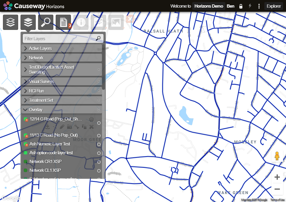
Interaction Level
At interaction level, the following changes occur:
- Point and polygon items are displayed in the mapping as points and polygons.
- Interaction with Sections is possible. Use the mouse to hover over Sections. They become active indicating that they can be selected.
- Line items will be shown in the correct position, either above or next to the Section centreline
Interaction Level via Zoom
Use the zoom functions to zoom in to the area of interest until the Interaction icon displays as active.
Jump to Interaction Level
Zooming to Interaction level takes you to the centre point of the screen. If done at random, this may not contain part of the Network. When you double click over a region of interest, this zooms in by one level of magnification and centres the map on that area of interest. Then click the Interaction icon (lightening bolt) in the top right corner of the screen.
The map is now in Interaction level and zoomed into the centre of interest. The Interaction icon is active.
Interaction Level by Searching
Click the Search icon and enter the item to search for, click Enter, and select the required search result. This centres the map over that location at Interaction level.
For full details about Interaction level, see About Interaction Level