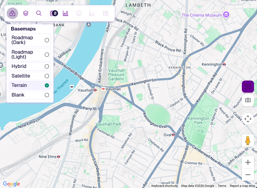
Basemaps
Change the background imagery
The basemap is the background imagery beneath your active Layers. Each basemap offers a different balance of contrast and detail, suitable for different tasks and viewing conditions.
In the Explorer toolbar, select Basemaps and choose one you want.
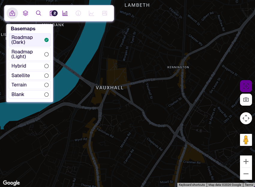
Roadmap (Dark)
A dark-themed map with subtle grey roads and white labels for streets and localities. The high contrast helps light-coloured Layer styles stand out and reduces screen glare during long viewing sessions.
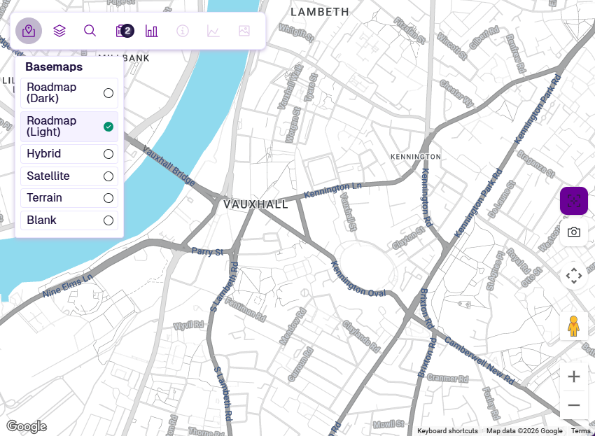
Roadmap (Light)
A light-themed map with grey roads, blue water and clear locality labels. The neutral background suits general navigation and pairs well with most Layer colours.
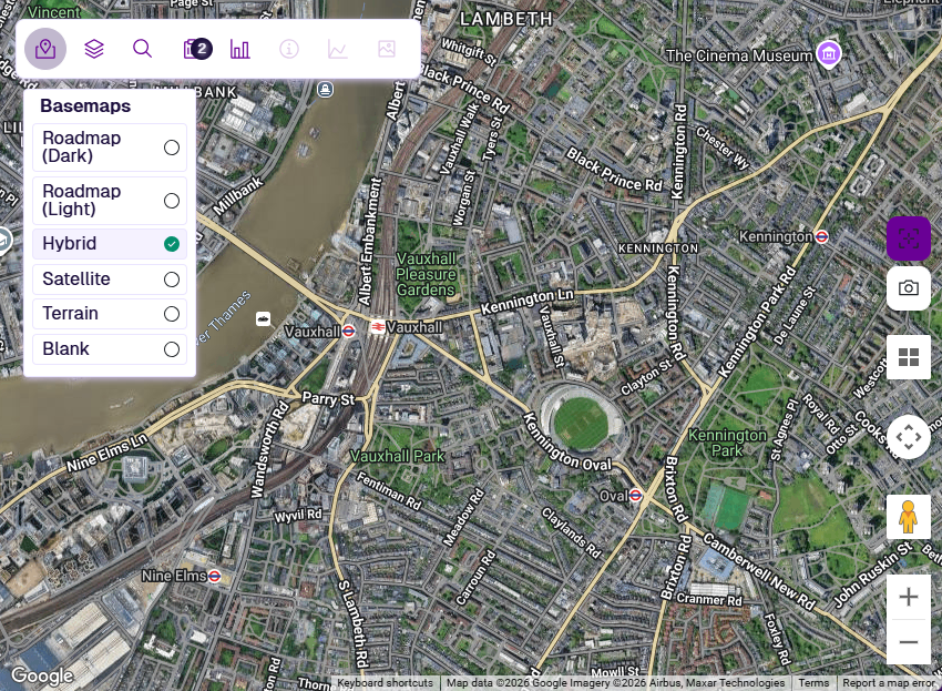
Hybrid
Aerial photography overlaid with road and place-name labels. Useful for relating Sections to their physical surroundings (e.g. buildings, junctions, vegetation) while keeping street names visible. Supports the Tilt tool when zoomed into areas with tilt imagery.
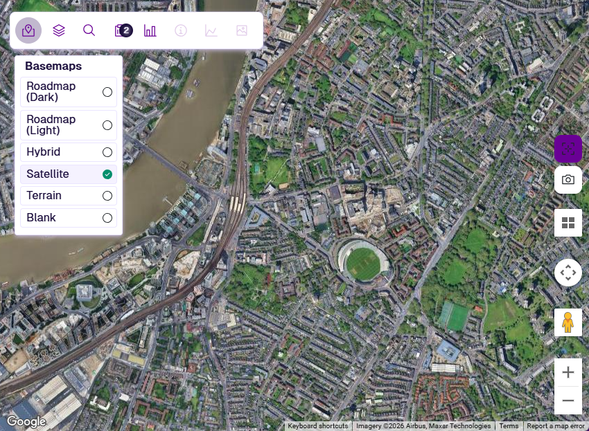
Satellite
Aerial photography with no labels or road lines drawn on top. Useful for inspecting physical features (e.g. building footprints, surface textures, land use) without visual clutter. Supports the Tilt tool when zoomed into areas with tilt imagery.
Terrain
A muted-tone map showing hillshade and relief alongside roads and place names. Helpful in rural or hilly areas where elevation context matters.
Blank
A plain background with no roads, labels or imagery. Only your active Layer data is visible, removing all distractions.